

The Arctic Hunt for the Flood That Froze the Planet
A joint expedition braves the polar ice to find the lost trigger of an ancient climate catastrophe

The mystery begins thirteen thousand years ago when the warming Earth suddenly reversed course. The planet had been emerging from the last ice age, basking in the Bolling-Allerod warming period, when the climate system violently lurched back into glacial conditions. This era, known as the Younger Dryas cooling, lasted for more than a millennium and remains one of the most enduring enigmas in late Pleistocene science.
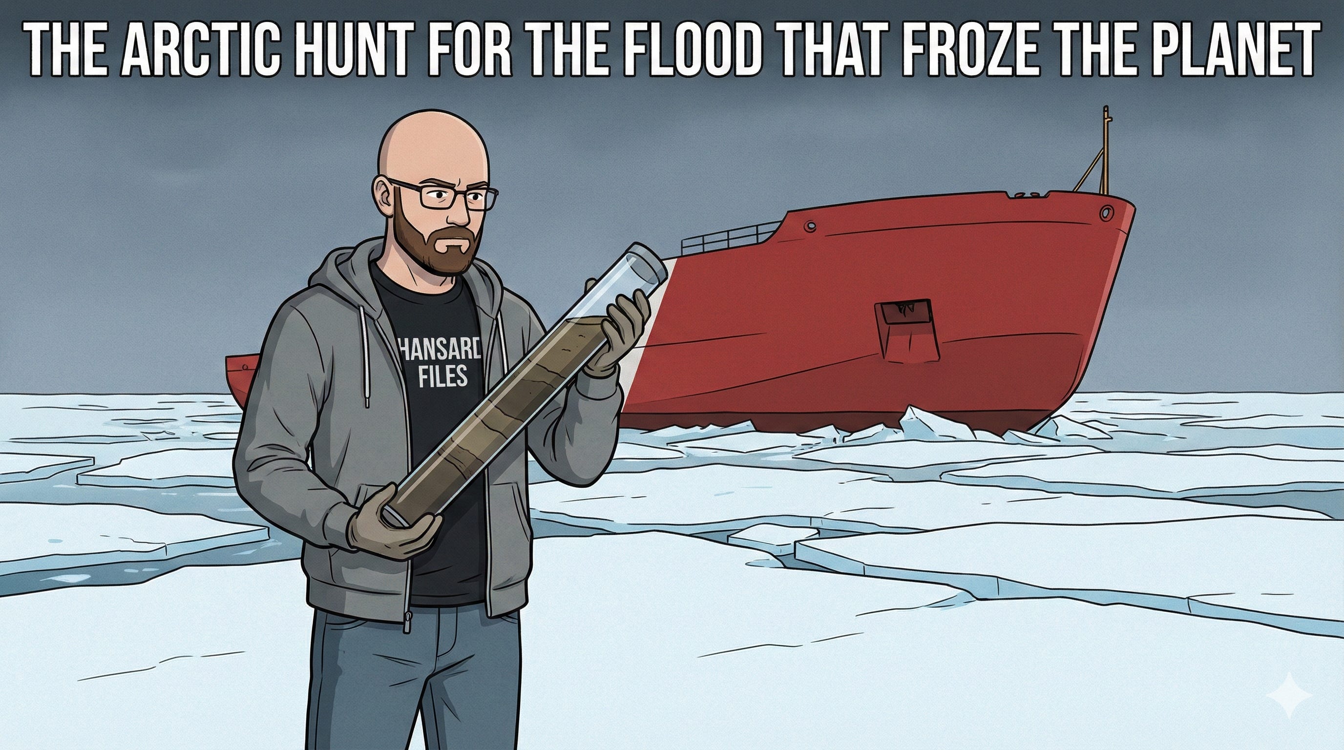
In the late summer of 2013, the US Coast Guard Cutter Healy cut a path through the chilling waters north of Alaska to solve this cold case. Aboard the massive icebreaker, a team of scientists from the United States and Canada prepared to drag the ocean floor for evidence of a geological smoking gun. Their destination was the Canadian Beaufort Sea, where they hoped to find the scars of a massive, ancient flood that may have shut down the ocean’s circulation and frozen the northern hemisphere.
The Meltwater Diversion Hypothesis
The stakes of the expedition were rooted in a theory that connects the melting of North American ice sheets to global climate stability. In 1989, researchers proposed that as the vast Laurentide Ice Sheet retreated, it opened a drainage route for Glacial Lake Agassiz. The theory suggests a catastrophic release of freshwater rushed into the ocean, reducing the North Atlantic heat flux and plunging the world back into winter. This concept is known as the meltwater diversion hypothesis.
For decades, the scientific community believed this freshwater torrent exited east through the St. Lawrence River system. However, this elegant hypothesis faced a significant problem: there is a distinct lack of geomorphological evidence for an eastern flood. Furthermore, no one has ever reported stable isotope evidence for lowered surface ocean salinity in the western North Atlantic during that specific window of time.
The absence of evidence led some prominent researchers to abandon the meltwater theory entirely by 2010. Yet, a new possibility emerged. Models and theory suggested that with lowered sea levels and ice-choked channels in the Canadian Archipelago, a flood from the Mackenzie River would be forced by the Coriolis effect to turn right. It would follow the outer continental shelf to northern Greenland and enter the Nordic Seas, potentially triggering the cooling event from the north rather than the east.
A Laboratory at Sea
To test this northern route hypothesis, the expedition team needed to recover high-deposition sediment cores from the continental slopes of Alaska and Canada. The operation was a massive logistical undertaking involving the Geological Survey of Canada, Woods Hole Oceanographic Institution, and the Scripps Institution of Oceanography.
The Healy was well-equipped for the task. The vessel utilized a Jumbo Piston Core system capable of driving a bucket deep into the seafloor to extract sediment columns up to twenty-five meters in length. Alongside the heavy coring equipment, the ship carried a sophisticated array of sensors, including a Kongsberg EM122 multibeam echo sounder for mapping bathymetry and a Knudsen sub-bottom profiler to see beneath the sediment layers.
The expedition launched from Barrow, Alaska, on August 15, 2013. The team arrived to heavy overcast skies and light drizzle, shuttling to the ship by helicopter from the flat, waterlogged tundra. By the following morning, they were rigging the labs and the fantail deck, preparing to hunt for mud that held the chemical signature of a thirteen-thousand-year-old flood.
Into the Mackenzie Trough
The crew’s primary target was the Mackenzie Trough and the slope regions of the Beaufort Sea. They believed that if a flood of glacial water had indeed surged into the Arctic Ocean, the sediments here would accumulate at high enough rates to resolve the Younger Dryas timeline. They hoped to find sufficient foraminifera—microscopic organisms—to perform radiocarbon dating and detect the freshwater event.
As the Healy moved east toward the Canadian border, the reality of Arctic operations set in. The team worked through the nights, running chirp profile lines down the continental slope to identify the best targets for coring. At a site named “West Flank Barrow Canyon,” they successfully buried a thirteen-meter corer into the seabed, recovering a long column of history.
However, the Arctic environment did not always cooperate. By August 23, as they approached critical sites on the upper Mackenzie slope, the expedition encountered very heavy ice cover. The conditions were severe enough to restrict the use of the sensitive chirp sonar towfish, forcing the team to rely on hull-mounted systems. Despite the crushing ice, they managed to survey a grid between proposed sites and identify a viable location for extraction.
Debris Flows and Dead Ends
The search for the perfect climate record often led to geological dead ends. On August 27, while surveying the Amundsen Gulf, the team pushed toward the “McLean site” but found it unsuitable. The sediment succession in the deep water was composed of stacked debris flows—chaotic avalanches of mud that scrambled the timeline the scientists needed to read.
Compounding the geological frustration, the ice in the Amundsen Gulf became extremely heavy, making it impossible to push further west. The expedition leadership decided to turn south to escape the ice and find more attractive geology. This pivot proved successful. They located a site in the southwest corner of the Amundsen Trough where they recovered a piston core, though the thick mud caused the core liner to separate during recovery.
Between the relentless shifts of surveying and coring, the crew found moments of respite. On August 24, the ship parked in the ice for “ice liberty,” allowing the science team and crew to walk out onto the frozen ocean for photos. That evening, the scientists took over the galley to make pizza and salad for the ship’s crew, a brief moment of warmth in the freezing drift.
The Pingos of the Shelf
As the expedition turned back toward Alaska, the team shifted their focus to shallower waters. On the night of August 29, they surveyed a field of “pingos” on the eastern flank of the Mackenzie Trough. Pingos are hills of earth-covered ice that can rise from the seafloor, posing a navigational hazard in poorly charted waters.
Proceeding with extreme caution in depths of only forty to fifty meters, the Healy mapped the area and discovered several excellent pingo features. Between these icy mounds, they found depressions filled with stratified sediments—exactly the kind of undisturbed layering required for high-resolution climate analysis. The sub-bottom profiler imaged fifty meters below the seafloor, and the team successfully extracted cores from these unique formations.
The Return to Barrow
By early September, the Healy had moved back into deep water to survey canyon areas on the Alaskan slope. This region is typically a “sediment by-pass area,” where currents sweep the floor clean, but the team managed to find an overbank deposit on top of a canyon ridge. It was an erosional remnant that had survived the currents, offering one last window into the past.
The cruise concluded where it began, in Barrow, on September 6. Over the course of three weeks, the expedition had collected more than three thousand kilometers of seismic data. They occupied seventeen distinct stations, retrieving twelve multi cores, fourteen jumbo piston cores, and fifteen giant gravity cores.
These samples were destined for archives at Woods Hole Oceanographic Institution and the Geological Survey of Canada. While the physical journey had ended, the scientific work was only beginning. If the geochemical and sedimentological results from these cores matched the models, the team would verify the path of the freshwater flood. In doing so, they would solve the great puzzle of the Younger Dryas and explain how a single geological event once turned the heat off for the entire northern hemisphere.
Source Documents
Cameron, G. D. M. (2015). USCGC Healy Cruise HLY1302, Alaska to Amundsen Gulf Expedition Report (Open File 7530). Geological Survey of Canada.
How fragile our beautiful blue planet is. We each occupy her for such a brief period that it seems nothing changes in our lifetime. Yet it does, and it’s only by the efforts of expeditions such as this, that we can marvel that we’re even here at all.