

Gov’t Unlocks 60 Years of Lost Great Lakes Data
Decades of vital Great Lakes research, funded by taxpayers, was lost in archives. Here’s how the government is bringing it back to light.

A recent report from the Geological Survey of Canada (GSC) tells a quiet but important story about government data. The document, Open File 8744, isn’t about a new discovery. Instead, it’s about rediscovering what we already paid for. For up to 60 years, a trove of geophysical and geological data from the Great Lakes, gathered by the Government of Canada and its partners, has been “undiscoverable and unavailable” to scientists and the public. This report is the first step in bringing that lost knowledge back into the light, revealing a long-term data management problem and the complex work required to fix it.
What Was Lost, and Why Does It Matter?
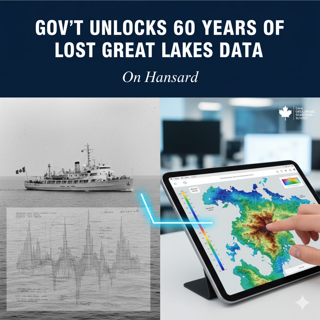
Between the 1960s and 1990s, federal scientific expeditions crisscrossed Lakes Ontario, Erie, Huron, Michigan, and Georgian Bay. These surveys collected thousands of data points using seismic reflection profilers, creating a detailed picture of what lies beneath the lakebeds. The resulting information, however, was stored on physical media like paper and plastic film, eventually becoming inaccessible within the government’s own archives.
What does this data actually show? According to the GSC report, high-resolution seismic profiles reveal sediment thickness, the depth to bedrock, and the underlying stratigraphy. This is not just abstract geology. This information is a roadmap to understanding the history of the lakes, how sediment has been deposited, and, crucially, “possible pathways for movement of groundwater or contaminants.” Given the Great Lakes Basin is home to millions of Canadians and a cornerstone of our economy, having a 60-year gap in our understanding of its foundational geology is a significant liability. The report notes the data has “considerable” scientific significance and “inherent financial value.” Making it public unlocks that value without the immense cost of re-doing the surveys.
The Recovery Effort
So, what did the government do to recover this lost asset? The report details a massive archival and digitization project. Researchers located the original paper and film records, which included navigation charts, expedition reports, bridge logs, and seismic profiles. This material was then scanned, processed, and catalogued to create web-accessible digital files.
The scale of the project was immense. The scanned and processed seismic profiles alone amount to 182 GB of data, with another 37 GB for maps and charts. Because this volume of information is too large to release in a single file and is not yet fully uploaded to the G.S.C.’s public databases, Open File 8744 acts as a bridge. Its purpose is to “reveal the existence of this legacy geoscience information” and provide researchers with the metadata and direct contacts needed to access the digital files before they are officially online. It is, in effect, a declaration that this lost public data has been found and is once again available for use.
A Lesson in Public Data Stewardship
This situation serves as a practical lesson in the challenges of long-term data management. What does this episode tell us about how government handles the information it creates? It shows that without a deliberate strategy for preservation and access, publicly funded data can easily become “legacy” data, at risk of being forgotten or lost entirely.
The recovery effort outlined in the report represents a quiet but essential act of good governance. It acknowledges a failure in institutional memory and provides a technical, transparent solution. By investing in the recovery of this data, the government ensures that past expenditures on scientific research continue to provide value today. This effort prevents the need for costly new surveys and equips a new generation of scientists, policymakers, and environmental managers with the historical context needed to make informed decisions about Canada’s most critical freshwater resource.
The Data Brief
The Problem: For as long as 60 years, crucial geological and geophysical data on the Great Lakes, collected by the federal government, was inaccessible to both scientists and the public.
The Solution: The Geological Survey of Canada undertook a major project to locate, scan, and process the “legacy” data from physical formats into digital files.
The Value: This data provides vital information on bedrock, sediment layers, and lake history, which is essential for managing resources and understanding the movement of groundwater and contaminants.
The Status: While the full data sets are still being prepared for public online databases, a 2020 GSC report provides a complete inventory and contact information for researchers to access the information now.
The Bottom Line
This report is more than just a catalogue of old surveys. It’s a case study in the government’s role as a steward of public knowledge. Recovering this lost data is a powerful, if unglamorous, act of accountability. It reaffirms the principle that publicly funded science should remain a public asset, unlocking the value of past investments to safeguard our shared future.
Source Documents
Todd, B. J., & Lewis, C. F. M. (2020). Legacy geophysical and geological data from Lake Ontario, Lake Erie, Lake Huron, Georgian Bay, and Lake Michigan, Canada and U.S.A. (Geological Survey of Canada, Open File 8744). Natural Resources Canada.
This is exciting. I’m looking forward to hearing more as this data will undoubtedly become useful in many fields of study.