

The 1871 Audit: Mapping the Void Between Oceans
How a tragic death in a Nova Scotia coal pit, a potato patch north of Superior, and a canoe trip to Mistassini defined the route of the Canadian Pacific Railway.

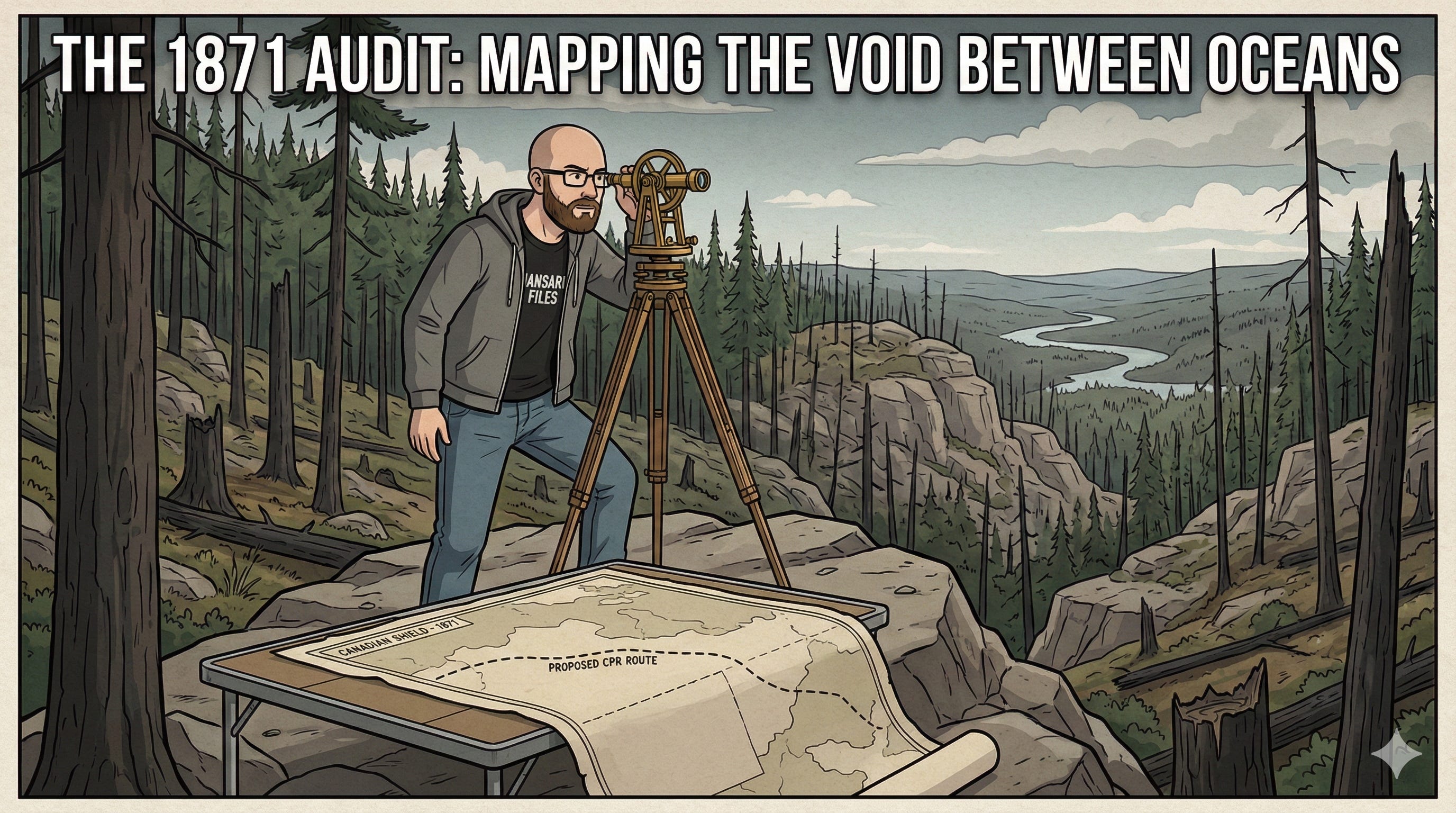
The ink was barely dry on the paperwork of Confederation, and the new Dominion of Canada was already facing a geographical crisis. It was 1871. British Columbia had just agreed to join the union, but only on one impossible condition: a transcontinental railway must be built within ten years. The problem was not just money; it was the map. Between the industrial east and the prairies lay the Canadian Shield—a jagged, granite nightmare of rock, muskeg, and silence that was largely a blank space on the government’s charts.
To build the road, they first had to find the ground.
In the archives of the Canadian Pacific Railway survey, the Geological Survey of Canada’s Report of Progress for 1870-71 reads less like a bureaucratic summary and more like a war dispatch from three simultaneous fronts. On one front, deep in the wilderness north of Lake Superior, a surveyor named Robert Bell was battling forest fires to prove the land wasn’t a frozen wasteland. On another, James Richardson was pushing canoes into the unknown waters of Lake Mistassini, hunting for a “height of land” that might not exist. And in the coal fields of Nova Scotia, a brilliant young geologist named Edward Hartley was paying the ultimate price for the industrial fuel the nation would need.
This 1872 report captures the exact moment Canada stopped being a political idea and began the terrifying physical work of becoming a nation.
The High-Pressure Steam of the Foord Pit
Before a single spike could be driven in the west, the Dominion needed coal in the east. The railways and steamships that knitted the Atlantic provinces together were hungry for fuel, and the responsibility for mapping it fell to Edward Hartley.
Hartley’s letters from the field, preserved in the report’s introduction by Director Alfred Selwyn, vibrate with the frantic energy of the early industrial age. He was stationed in the Pictou and Cape Breton coalfields of Nova Scotia, a place where the earth itself seemed hostile to human intrusion. His correspondence details a “capital success” in Cape Breton, where he discovered seams of coal five to ten feet thick—”beautiful seams to work”—that promised enormous wealth if only a market could be found.
But the geology of Pictou was violent. Hartley documented the terrifying conditions of the “fiery mines” where gas pressure built up behind the rock faces. In one chilling entry, he described being at the Foord Pit when the miners struck a gas pocket. The gas didn’t seep; it screamed. It hissed from the rock “like high pressure steam from a boiler, making such a noise that you could not be heard speaking in a loud tone of voice”.
Hartley was obsessed with modernization. He railed against the “absurd” and dangerous practice of using safety lamps while simultaneously blasting coal with gunpowder—a contradiction that had already caused explosions. He lobbied for coal-cutting machinery he had seen in England, arguing that if such machines had been used earlier, the disastrous explosion at the Foord Pit could have been prevented, saving $20,000 and eighteen months of lost production.
He was also fighting a cultural battle against negligence. “In England,” he wrote, “ventilation is a system. In this country... the mines may be said to be ventilated by the miraculous interposition of Providence.” He recounted finding a mine manager who had driven levels 200 yards without a cross-cut for air, claiming the coal was so pure “the men don’t need air”.
The cost of this knowledge was lethal. The report curtly notes that Hartley’s work was “brought to an abrupt termination.” While pushing himself to map the Spring Hill district, he was “attacked by the severe illness” and died in Pictou on November 10th. He was a casualty of the nation’s demand for energy, mapping the subterranean engines of the new Dominion until they consumed him.
The Burnt Land North of Superior
While Hartley was fighting gas and illness in the east, Robert Bell was drifting into the silence of the north. His mission was to survey the country north of Lake Superior, specifically looking for a viable route for the proposed Canadian Pacific Railway.
The popular conception of this region in 1871 was of a “howling wilderness,” unfit for settlement or agriculture. If this were true, the railway would be a bridge to nowhere, running through thousands of miles of dead land. Bell’s report was the counter-argument that would justify the project’s massive expense.
Entering the interior via the Pic River, Bell found a landscape scarred by catastrophe. He described vast tracts of the country as “burnt-out,” where repeated forest fires had incinerated not just the trees but the vegetable mould of the soil itself. The “old timber”—spruce, balsam-fir, and tamarack—had been wiped out, replaced by thin growths of white birch and aspen.
Yet, amidst the char and granite, Bell found the resources that would physically build the railway. He cataloged vast stands of tamarack and Banksian pine (which he called “cypress”) that had escaped the flames, noting their specific value for “sleepers and ties, culverts, telegraph-poles” for the coming construction. He wasn’t just describing trees; he was inventorying the inventory of a railroad.
The Potato Patch Argument
The most politically explosive finding in Bell’s survey was not about rock or timber, but about dinner. The skeptics of the CPR argued that the railway route lay too far north to support human life. Bell dismantled this myth with a single observation from Long Lake House, a remote Hudson’s Bay Company post deep in the interior.
“The climate appears to be no worse than that of parts of the Province of Quebec,” Bell wrote. As proof, he pointed to the garden at the post. Oats and barley were successfully cultivated there, but the real clincher was the potato crop. Bell observed that the “potato-tops had not been touched by frost up to the time of harvesting,” which occurred in the first week of October.
It was a small detail—a potato patch in the middle of nowhere—but it carried immense weight. It suggested that the “valley of the Albany” and the lands north of Superior were not a frozen hellscape, but a region that could support the towns and stations the railway would spawn. Bell reported that the region could “always afford abundance of wood for fuel” and that the soil, where not burnt away, was a sandy loam capable of sustaining the settlers who would follow the tracks.
The Mystery of Mistassini
While Bell mapped the railway route, James Richardson was dispatched to solve a geographical riddle in Quebec: the true nature of Lake Mistassini. This was the “Third Front” of the survey—the attempt to connect the St. Lawrence civilization with the vast Hudson Bay watershed.
Richardson’s journey was an odyssey of portages and paddling. He ascended the Ashuapmouchouan River, struggling against rapids where the river ran with the strike of the rocks, forcing his team to drag their supplies over endless granite ridges. When he finally reached the Great Lake Mistassini, he didn’t just map it; he measured its silence.
He described a body of water so vast that from the Hudson’s Bay Company post, a bay called Poonichuan stretched thirty miles to the south-west—a massive inland sea hidden in the spruce forests. But Richardson was looking for more than water; he was looking for wealth. Near “Paint Mountain,” he found green chloritic rocks holding “considerable quantities of magnetic iron ore disseminated in grains and crystals.” Nearby, he found copper sulphurets, hinting that the mineral wealth of the Shield wasn’t limited to the known deposits in the south.
Richardson’s report is filled with the tension of the unknown. He was mapping a region where the “height of land” was a shifting, nebulous border between the Atlantic and the Arctic, trying to find a commercial logic in a landscape that had defied settlement for centuries.
The Gold at the Bottom of the Lake
While his field lieutenants mapped the land and fuel, the Survey’s Director, Alfred R. C. Selwyn, was trying to figure out how to pay for it all. His section of the report looks toward the gold fields of Nova Scotia, comparing them to the booming gold districts of Australia.
Selwyn’s analysis was a masterclass in geological optimism. He noted that Nova Scotia’s gold districts were characterized by long, narrow lakes and swamps—”runs” and “gutters” that physically resembled the rich alluvial gold gullies of Australia, just filled with water. He posed a tantalizing question: “Whether rich deposits may not underlie many of the lakes and swamps of Nova Scotia... and if so whether they could be profitably mined”.
He envisioned draining lakes to get to the gold beneath, a massive engineering feat that mirrored the ambition of the railway itself. The report dismisses the pessimistic belief that glaciers had scraped away all the alluvial gold, with Selwyn “confidently asserting” that the gravels remained. It was a siren song for investors: the gold was there, wet and hidden, waiting for the technology to reach it.
The Blueprint of a Nation
The Report of Progress for 1870-71 is a catalog of a country taking stock of its inventory. It is a document of stark contrasts: the high-pressure danger of the coal pits versus the silent, burnt forests of the north; the hope of gold versus the reality of granite.
Edward Hartley died mapping the fuel; Robert Bell survived mapping the route; James Richardson returned from the unknown lakes. Their combined work laid the foundation for the Canadian Pacific Railway. When the trains finally began to roll across the Shield ten years later, they ran on the ties Bell identified, burned the coal Hartley analyzed, and crossed the land they had both died or suffered to define. The railway didn’t just conquer the wilderness; it followed the map drawn by these explorers, who walked the void when it was still blank.
We dig through the dustiest government reports to find the human stories that built this nation. If you believe history should read like a thriller, support our work by subscribing.
Source Documents
Selwyn, A. R. C., et al. (1872). Report of Progress for 1870-71. Geological Survey of Canada.
My mother's family are rooted in Pictou having crossed to Nova Scotia on the Good Ship Hector. In 2025, a full sized replica of the Hector was launched in Pictou.
History is too often told in dry terms, losing the human element. For example, the Scots aboard the Hector didn't come to Nova Scotia for shits & giggles. They were part of the waves of the Highland Clearances. No-one greeted them with free hotels, food & medical care. If they wanted to live, they needed to make a life for themselves, clearing land to plant food, using the trees they cut down to build homes.
Most Canadians don't have any idea what was involved in the Highland Clearances, if they've heard of them at all. But hey... no-one's illegal on stolen land, right?
What an exciting read about our origins! "In the archives of the Canadian Pacific Railway survey, the Geological Survey of Canada’s Report of Progress for 1870-71 reads less like a bureaucratic summary and more like a war dispatch from three simultaneous fronts."