

Canada’s Cold War Attic: Why Forgotten Government Reports Are Your Most Powerful Tool
An inside look at two 1961 sea ice reports reveals a hidden world of data and what it teaches us about government today.

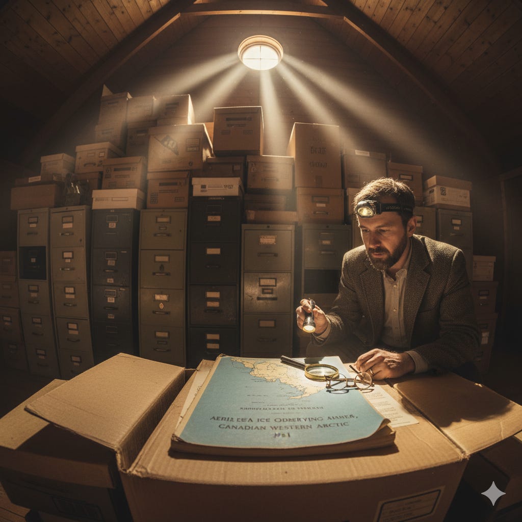
In 1962, the federal Department of Transport’s Meteorological Branch published two technical reports. Their titles are masterpieces of bureaucratic understatement: Aerial Sea Ice Observing and Reconnaissance, Canadian Western Arctic 1961 and Aerial Sea Ice Observing and Reconnaissance, The Hudson Bay Route 1961. On the surface, they are dry, data-logged accounts of ice conditions, filled with cryptic charts and specialized terminology. They look like documents destined for a dusty archive box, and for over sixty years, that is largely where they have stayed.
Yet, buried within these pages is the story of a monumental undertaking. These reports are the product of a massive, coordinated effort involving multiple field units, specialized aircraft, and dedicated teams of observers flying hundreds of missions over some of the world’s most hostile territory. This was a Cold War-era project to map and understand the Canadian North, not for academic curiosity, but for the vital strategic purpose of navigating the shipping routes. Reading them today reveals a critical lesson about our relationship with the government that supposedly works for us. The data our government collects on our behalf is a vast and valuable public asset, but much of it sits locked away, not by secrecy, but by sheer complexity.
The Problem of the Government’s Attic
Think of the Canadian government as an old family estate. For generations, its residents have been meticulously documenting everything: daily activities, major projects, expenses, and observations. All these records are stored in the attic. This attic contains a complete, unbiased history of the family—a raw dataset of its existence. The problem is that almost no one goes up there. The journals are written in an old-fashioned shorthand, the financial ledgers are dense, and there is no simple summary to tell you what it all means.
This is the challenge you face as a citizen. The government’s attic is overflowing with primary-source documents like these 1961 ice reports. They contain an objective record of what the state was doing and what it was observing at a specific point in time. This information is theoretically public, but it is practically inaccessible. It is written in a technical language for a specialist audience and presented without a narrative. The result is a profound information gap. We are left to rely on simplified, often politicized, summaries from media or politicians, while the detailed truth sits waiting in the archive, untouched. Learning to navigate this attic is the first step toward reclaiming your role as an informed owner of this information, not just a passive consumer of someone else’s story about it.
Decoding the Ice Watchers’ Language
To unlock these documents, you first need to understand the language of the ice observers. The terms they use are precise, descriptive, and paint a vivid picture of the Arctic environment. The reports from 1961 provide a full glossary of their terminology. For example, ice cover is not just “a little” or “a lot”. It is measured in tenths of the sea surface.
Open Water is less than 1/10 ice cover.
Scattered Ice is 1/10 to 5/10 coverage.
Broken Ice is 5/10 to 8/10 coverage.
Close Ice is 8/10 to 10/10 coverage.
Consolidated Ice is 10/10 coverage, with “little or no water present on the sea-surface.”
The observers also categorized the age and state of the ice. They weren’t just looking at ice, but at a dynamic, changing landscape. They noted “puddling,” which described the melting pools of water on the ice surface, a key indicator of the spring thaw. They even had terms for new ice, such as “grease ice” and “slush.” Reading the report from the Hudson Bay Route, you can see the season advance through the language itself. An observation of “consolidated winter ice” in April gives way to reports of “rotten puddling” by late June, signaling the route is beginning to open. This language is your key. Once you understand it, the dense charts and descriptions transform from a wall of text into a coherent story.
A Mission of Monumental Scale
The second thing that jumps out from these reports is the sheer scale of the operation. This was not a small research project. This was a massive logistical exercise. The Hudson Bay Route program was based out of Churchill, Manitoba, and Frobisher Bay, N.W.T., using Canso and DC-3 aircraft. The Western Arctic program was based at Cambridge Bay. The reports meticulously log every reconnaissance flight.
Here is the detail I find most revealing: the individual effort involved. The flight logs name each observer on every single mission. For the Western Arctic survey, one observer, D. Aston, flew 57 missions between June and November. His total flight time was 395.9 hours, covering an astonishing 59,110 statute miles. That is equivalent to flying around the entire circumference of the Earth more than twice, in a single season, in a propeller plane over the Arctic. This was an immense application of human effort and public resources. The data they collected was not cheap. It was earned through discipline and persistence in a difficult environment.
The Story Hidden in the Data
Once you have the language and a sense of the scale, you can begin to see the narrative arc hidden in the raw data. The reports are structured chronologically, with maps illustrating the ice conditions for every few days. By following along, you can watch the entire seasonal cycle of the Arctic sea ice unfold.
ICE CONDITIONS ON APRIL 22-23, 1961
WEST SIDE SIMPSON STRAIT, QUEEN MAUD GULF, CORONATION GULF, DOLPHIN AND UNION STRAIT, AMUNDSEN GULF, PRINCE OF WALES STRAIT, BEAUFORT SEA SOUTH OF LATITUDE 73 N:
Consolidated snow covered winter ice covered the area. East of Dolphin and Union Strait, ridging was moderate to heavy, while to the west light to moderate.
This entry from the Western Arctic report describes a world locked in ice. Now, fast forward just over three months in the same report.
ICE CONDITIONS ON AUGUST 4-7, 1961
BEAUFORT SEA, AMUNDSEN GULF, DOLPHIN AND UNION STRAIT, CORONATION GULF, DEASE STRAIT AREAS: Open water was observed throughout.
The transition is stark. A vast, frozen landscape has transformed into open sea. This is the central story the reports were created to tell: the annual breakup that allowed supply ships to navigate the Northwest Passage and Hudson Bay. For the people operating those ships, this information was critical. For us today, this data serves a different purpose. It is a precise, detailed baseline of environmental conditions from a time before the conversation about climate change had entered the public consciousness. The motivation for collecting the data was purely operational, which makes the data itself incredibly valuable as an objective historical record.
The Principle of Civic Data Ownership
This brings us to the foundational principle at play. You, as a Canadian citizen, are a shareholder in the enterprise of the state. The data it collects in your name and with your money belongs to you. These ice reports are not historical artifacts belonging to the Department of Transport. They are your property. Their value is not limited to their original purpose of guiding ships in 1961. Their true long-term value is as a piece of a multi-generational puzzle we are trying to solve about our country’s changing environment and history.
When this data sits in the government’s attic, unread and unanalyzed by the public, we are forfeiting our ownership. We are allowing a valuable asset to depreciate. The solution is not to demand that the government create simpler summaries. The solution is for more of us to learn how to climb into the attic and read the records for ourselves. The process of decoding a document like this is an act of civic empowerment. It replaces the frustration of not knowing with the agency of being able to find out.
Your Share of the Archive
These two reports from 1961 are just one example. The government’s archive contains countless others like them, covering every conceivable area of Canadian life, from agricultural yields to telecommunications infrastructure. They are dense, jargon-filled, and require effort to understand. Yet they contain the unvarnished facts of our country’s operation. Learning to read them is like learning a new language—the language of governance. It allows you to bypass the storytellers and access the source.
An informed public does not wait for the story to be told to them; they learn to read the original drafts themselves.
Sources:
Archibald, D. C., Monsinger, M. N., & Kilpatrick, T. B. (1962). Aerial Sea Ice Observing and Reconnaissance, Canadian Western Arctic 1961 (Report No. TEC-410). Meteorological Branch, Department of Transport.
Archibald, D. C., Monsinger, M. N., & Kilpatrick, T. B. (1962). Aerial Ice Observing and Reconnaissance, The Hudson Bay Route 1961 (Report No. TEC-421). Meteorological Branch, Department of Transport.