

The 67,000 Dollars That Bought an Arctic Empire
For fifty years, Canada claimed the High Arctic on paper while ignoring it in practice. Then the Americans and Norwegians arrived, and Ottawa had to pay up.

In August 1925, the Canadian Government Ship Arctic rolled on the swell in the harbour of Etah, Greenland. It was a rugged vessel, a repurposed German exploration ship, and it carried a cargo of coal, lumber, and anxiety. Its commander, Joseph Bernier, was an aging master mariner who had spent decades patrolling the northern ice, planting flags and burying proclamations in cairns. But this time, his mission was different. He was there to intercept an invasion.
Lying nearby were two American ships, the Peary and the Bowdoin, supporting a formidable expedition led by Donald MacMillan and the charismatic naval aviator Richard E. Byrd. They had brought three amphibious biplanes to the High North. Their plan was to fly over Ellesmere Island and the vast, unmapped archipelago beyond—territory that Canada claimed but had never effectively occupied.
The confrontation that followed was polite, bureaucratic, and utterly high-stakes. Canadian officials boarded the American vessels and informed the explorers that they were in Canadian territory. To proceed, they would need permits. Not just for flying, but for everything—even their radios. It was a bluff of monumental proportions. Canada had no police post on Ellesmere, no permanent settlement, and no way to enforce its laws if the Americans simply said “no.” But the Americans, perhaps confused by the sheer audacity of the demand, complied. They took out the permits.
This incident in a Greenland harbour was the tipping point. For decades, Arctic Sovereignty had been a comfortable fiction in Ottawa—a “paper empire” drawn on maps but ignored in practice. The Byrd-MacMillan expedition proved that the age of passive claiming was over. The era of “effective occupation” had arrived, and Canada was woefully unprepared. To secure its northern crown, the government would have to embark on a desperate game of diplomatic poker, utilizing secret negotiations, police outposts, and ultimately, a chequebook.
The Unwanted Gift
The crisis of 1925 had its roots in an act of imperial apathy half a century earlier. In 1880, the British Colonial Office decided to transfer all its remaining Arctic possessions to the Dominion of Canada. It was not a gift of love; it was an administrative offloading. British officials were tired of fielding inquiries from American whalers about jurisdiction in Cumberland Sound and simply wanted to wash their hands of the problem.
The transfer was conducted with a vagueness that would haunt Canadian legal experts for generations. The Imperial Order-in-Council of July 31, 1880, annexed “all British territories and possessions in North America... not already included in the Dominion of Canada.” It did not list the islands. It did not draw boundaries. It simply handed over whatever was there.
Behind closed doors in London, this ambiguity was intentional. Colonial Office minutes reveal a strategy of calculated imprecision. When the Admiralty pointed out that the United States might have a claim to “Grinnell Land” (central Ellesmere Island) by right of discovery, Colonial Office officials decided it was better to leave the northern boundary “somewhat indefinite”. If they drew a line, they might accidentally exclude territory they wanted later. By leaving it vague, they handed Canada a blank cheque—one that Ottawa had no idea how to cash.
The Sector Theory
For the next fifteen years, Canada did almost nothing. The Arctic was viewed as a frozen wasteland, useful only if it contained minerals, and dangerous if it required administration. But the vacuum of authority began to attract attention. American whalers operated with impunity in Hudson Bay, and explorers began poking at the edges of the archipelago.
In 1897, spurred by the Yukon Gold Rush and the sudden realization of the North’s strategic value, Ottawa finally tried to draw a line in the ice. George Dawson, the brilliant director of the Geological Survey of Canada, and Édouard Deville, the Surveyor General, devised a radical legal doctrine to solve the problem of the “indefinite” boundary.
They proposed the “Sector Theory.” This doctrine argued that Canada’s territory extended not just to the coast, but in a pie-shaped wedge all the way to the North Pole. The 1897 Order-in-Council created the District of Franklin, a massive administrative box bounded by the 141st meridian on the west and a line midway between the archipelago and Greenland on the east.
It was a bold, creative piece of cartography. It looked impressive on a wall map in Parliament. But as late as 1929, internal memos from the Department of External Affairs admitted the terrifying weakness of the position. “Canada, however, does not claim these islands merely because they fall within a Canadian sector, internationally unrecognized,” a legal officer wrote. They knew that under international law, sovereignty required “effective occupation”—boots on the ground, police posts, and administration. Canada had none of these in the High North. They had only a map and a theory.
The Norwegian Crisis
While Ottawa fretted about American aviators, a more concrete threat had already emerged from the east. Between 1898 and 1902, the Norwegian explorer Otto Sverdrup had navigated the Fram through the tangled channels of the western archipelago. He didn’t just explore; he discovered and mapped major islands that British charts had missed entirely, including Axel Heiberg, Ellef Ringnes, and Amund Ringnes Islands.
Sverdrup claimed these lands for Norway. Unlike the vague British “discovery” claims from the early 19th century, Sverdrup’s work was recent, scientific, and thorough. By the late 1920s, with the rise of trans-polar aviation, these islands suddenly looked like strategic assets.
The Canadian government found itself in a bind. If they admitted Sverdrup’s claim, the Sector Theory would collapse, leaving a foreign power sitting in the middle of Canada’s backyard. If they denied it, they risked an international court case they might lose. Internal memos from 1929 warned that Sverdrup’s claim was strong: “It is one thing to argue that no longer can the Norwegian discovery bar the occupation of other states, and another to prove Canada’s sovereignty... Canada’s claim is inherited from Great Britain... [but] Sverdrup... claimed discovery of the Islands”.
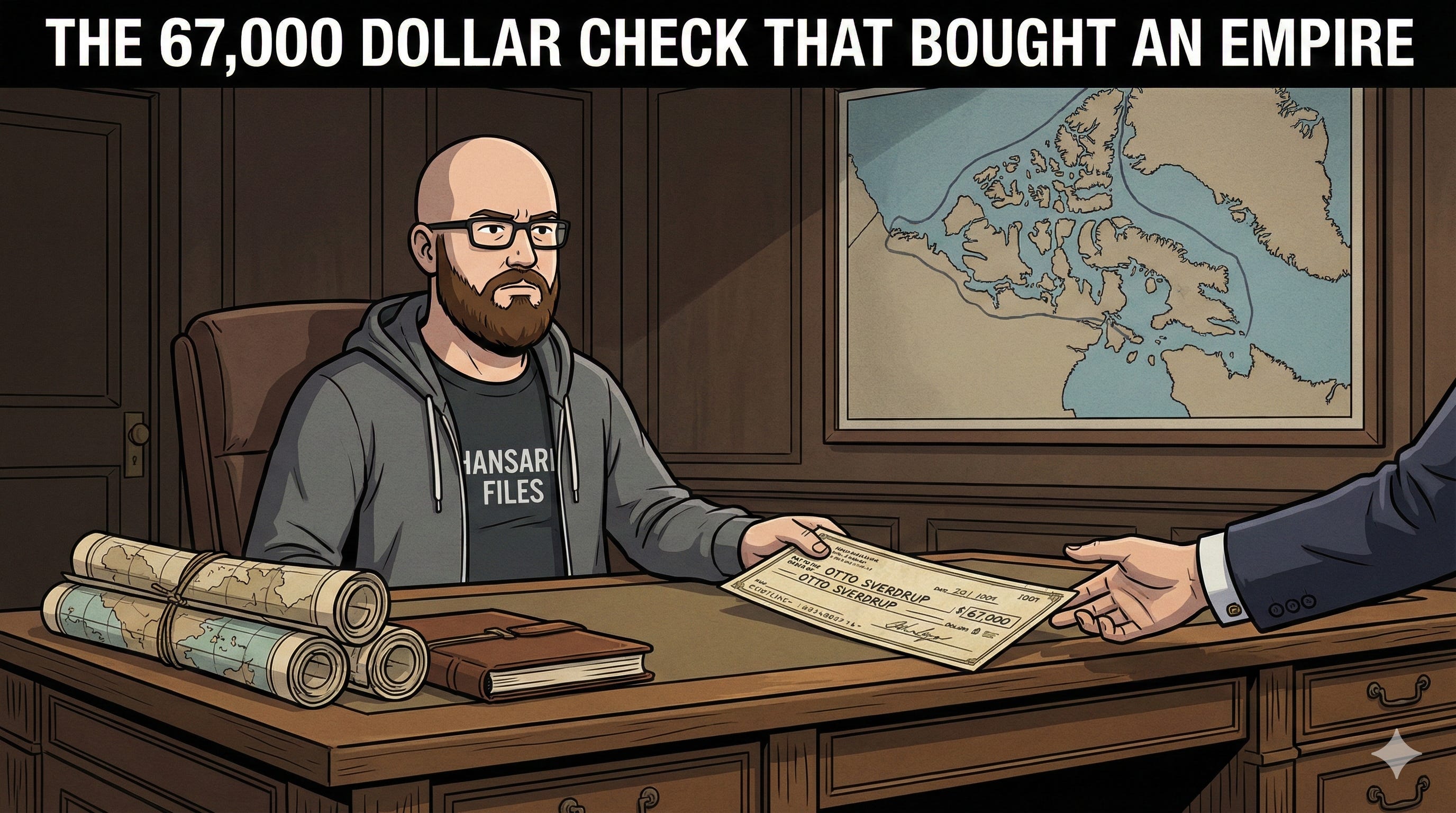
The 67,000 Dollar Solution
The breakthrough came not through legal arguments, but through cash. Sverdrup, the aging explorer, had fallen on hard times. He felt the Canadian government had utilized his maps and data without compensation. Ottawa saw an opportunity to make the problem go away.
Negotiations began in secret. O.D. Skelton, the powerful Under-Secretary of State for External Affairs, orchestrated a deal that would secure the islands without technically “buying” them—because to buy them would be to admit Canada didn’t already own them. The Norwegians, represented by Eivind Bordewick, played hardball, hinting that if Canada didn’t pay, Sverdrup’s claim might be pressed formally.
In 1930, the deal was struck. Canada agreed to pay Otto Sverdrup $67,000—a significant sum negotiated down from an initial demand of nearly $200,000. The official explanation was a polite fiction: the money was for the purchase of Sverdrup’s “original maps, notes, and diaries”.
The diplomatic paperwork was a masterpiece of face-saving. Canada drafted a specific receipt for Sverdrup to sign, ensuring the payment was linked to “recognition of the sovereignty of His Majesty over the Sverdrup Islands”. Norway agreed to formally recognize Canadian sovereignty. In return, Canada handed over the check. The Norwegians could claim they had secured compensation for their explorer; Canada could claim they had merely purchased scientific data.
The Policeman’s Beat
The Sverdrup affair and the Byrd expedition terrified the Canadian government into action. The “inchoate title”—a phrase that appears repeatedly in the secret files of the era—had to be solidified.
The Royal Canadian Mounted Police were transformed from a prairie constabulary into an Arctic sovereignty force. Posts were established on Ellesmere Island and Devon Island, often consisting of nothing more than two officers and a flag, enduring months of total darkness to prove that Canada was “occupying” the land. The St. Roch, a floating detachment commanded by Henry Larsen, began its legendary patrols, enforcing game laws and customs regulations on the few Inuit and traders in the region.
By the 1940s, legal experts reviewing the files could finally breathe easy. The “Paper Empire” of 1880 had, through bluff, bribery, and endurance, become a reality. As one legal memo triumphantly noted in 1946, while the sector theory was legally dubious, Canada’s title could now rest “surely on positive Occupation”. The $67,000 check had bought the time necessary to make the map real.
If you enjoyed this deep dive into the secret files of Arctic history, subscribe to “Hansard Files.” We read the dusty archives so you don’t have to.
Source Documents
Cavell, J. (Ed.). (2016). Documents on Canadian External Relations: The Arctic, 1874-1949. Global Affairs Canada.
I did not know about this brilliant and exciting ploy that secured our Arctic domain. I feel like I’ve just had ice cream for breakfast.
An excellent telling of this bit of history. Does anyone know if this in the curriculum of any Canadian history class, currently?