

90,000 Square Miles and the Flight for Treaty Nine
How a chaotic airborne expedition used soccer diplomacy and open-cockpit planes to secure the mineral rights to 90,000 square miles of the North.

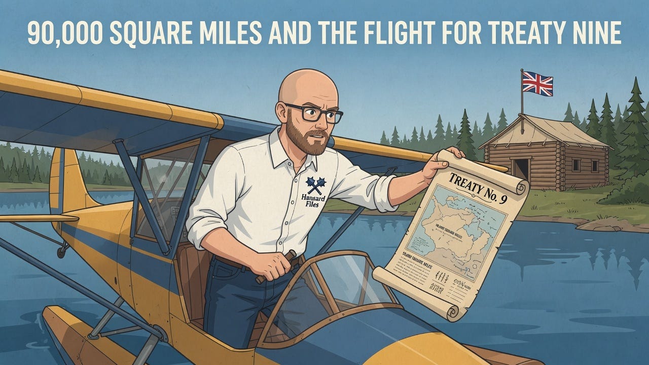
The summer of 1929 brought a sound to the Patricia District that had never been heard before. It was not the crack of a rifle or the roar of the rapids, but the mechanical drone of a Wasp engine cutting through the subarctic air. Two commissioners, representing the grand ambitions of the Dominion of Canada and the Province of Ontario, had taken to the skies. Their mission was urgent and vast. They were charged with securing the Adhesion to Treaty No. 9, a legal manoeuvre designed to extinguish Indigenous title over 90,000 square miles of Northern Ontario to clear the way for a mining boom that was already pushing the frontier northward.
The expedition was a collision of eras. On one side stood the Cree and Ojibway families who had lived on the land since time immemorial, navigating by canoe and surviving by the trap line. On the other were Commissioners H.N. Awrey and W.C. Cain, descending from the clouds in “fire canoes” to promise annual payments and reserves in exchange for the rights to the land. The 1929 report detailing this journey reads less like a bureaucratic file and more like an adventure log, filled with forced landings, fatal crashes, impromptu soccer matches, and a coincidence so striking it defies fiction.
The Push for the Patricia District
By 1929, the map of Ontario had changed. While the original James Bay Treaty No. 9 had been signed in 1905, it only covered the territory as far north as the Albany River. In 1912, the province’s boundaries were legally extended northward to Hudson Bay, absorbing a massive tract of land known as the Patricia portion of the District of Kenora. For seventeen years, the Indigenous inhabitants of this region lived within the province but outside of the treaty.
The government could no longer afford to leave this legal ambiguity unresolved. The report notes that the “pushing back of the frontier is inevitable due to the spectacular interest and activity in the mining industry.” The rocks of the Canadian Shield were whispering promises of gold and nickel, and the Crown needed clear title to the land north of the Albany River.
The plan was ambitious. The commissioners would visit Trout Lake, the mouth of the Severn River, and the Winisk River. However, the logistics of 1929 aviation intervened immediately. With insufficient gasoline caches on Hudson Bay, the itinerary was slashed. The primary goal became Trout Lake, with other stops at English River, Osnaburgh, and the James Bay posts of Albany and Moose Factory to pay annuities to those already under treaty.
Dominion Day at Osnaburgh
The expedition launched in late June. Commissioner Cain flew in a Moth provided by the Ontario Department of Lands and Forests, piloted by Captain Roy Maxwell. Commissioner Awrey utilized a Royal Canadian Air Force Fairchild WX cabin plane. They rendezvoused at Remi Lake and turned their noses north.
Their first major stop was Osnaburgh House. Here, the collision of cultures took on a festive, almost surreal quality. It was July 1st, Dominion Day, and the commissioners decided to introduce the local population to the British Empire’s idea of a holiday. After paying treaty money to 498 people, they organized a sports day.
The official record describes a scene of organized chaos and joy. There were running races and jumping contests. There was a “Baby Beauty Show” and a competition for the “best hunter.” The commissioners stood before the assembly and explained the significance of the Union Jack and the “Great White King” across the water. They distributed prizes—watches, knives, beads, and pipes—while carefully listening to grievances about hunting and fishing regulations.
The report notes the commissioners’ efforts to explain that the game laws were for the Indians’ own material welfare. The crowd responded with hand-clapping, a gesture the commissioners interpreted as approval. Yet, beneath the festivities, the serious business of land cession waited at Trout Lake.
The Historical Hall of Trout Lake
The flight to Trout Lake on July 3 was described as delightful, with visibility stretching for miles over the pristine wilderness. When the Moth plane descended onto the waters of Trout Lake, the reaction was immediate. The report describes the reception as one of “childish conviviality,” a patronizing description that nonetheless captures the sheer shock of the technology. The people rushed to the water’s edge to greet the aircraft.
The negotiations that followed were conducted with solemnity. The local Anglican missionary, Reverend Garrett, opened his church for the initial meetings, but the signing itself required a neutral space. The Indigenous leaders, led by Chief Samson Beardy, had constructed a special building for the occasion. The commissioners dubbed it “The Historical Hall.”
It was a rough structure, a sixteen-foot square built of pit-sawed spruce logs, roofed with canvas, and flying a new Union Jack. Inside, a roll map of the territory hung on the north wall. For hours, the commissioners and the leaders—Samson Beardy, George Winnapetonge, Jeremiah Sainnawap, Isaac Barkman, Jack McKay, and Jacob Frog—debated the terms.
The Chief and his councillors were described as “alert and intelligent,” far more so than the bands closer to the railway lines. They asked pointed questions about their rights to hunt, trap, and fish. They proposed an annuity of five dollars per head, matching treaties in other regions. The commissioners had to explain that they lacked the power to grant this, but they offered assurances that the Crown would protect their traditional way of life.
At 5:00 p.m. on Friday, July 5, 1929, the document was signed. Chief Beardy signed in Cree syllabics. In that moment, the adhesion was complete. The band of 627 people was enrolled. The demographics noted by the commissioners were sobering: 22 percent of the band consisted of widows and their dependents, a legacy of a severe flu epidemic that had swept through the winter before.
Soccer Diplomacy and Tragedy
The tension of the treaty signing was broken by another display of British sporting culture. On the evening of July 8, a challenge was issued. A team of seven “whites”—the commissioners, the pilots, the doctor, and the Hudson’s Bay Company staff—faced off against seven Indigenous men in a game of soccer.
It was a “hit and miss warfare” played on a rough clearing. The white team, averaging 36 years of age, managed to defeat the younger Indigenous team, averaging 25 years, by a score of two goals to zero. The band cheered their team on to a “frenzied effort,” but the visitors held the line. It was a brief moment of levity before the expedition turned toward disaster.
The plan required the Fairchild WX to return to Osnaburgh to pick up a mechanic and a camera operator. It never returned to Trout Lake.
On the afternoon of July 9, a different plane, a Fairchild XB, appeared in the sky. It brought grim news. The WX had crashed on takeoff at Osnaburgh. The Hudson’s Bay Company cook, Sandy Morrison, was dead. Pilot Rose was seriously injured. The wilderness, which had seemed so easily conquered by the flying machines, had claimed its toll.
The Miracle at the Unnamed Lake
The loss of the support plane threw the expedition into disarray. Commissioner Cain and Pilot Maxwell, flying the small Moth, were low on fuel. They attempted to reach a gas cache at Nibinamik (Summer Beaver Lake) but missed the landmark in the maze of identical lakes and islands. With their tanks running dry, they were forced to land on an unnamed lake roughly 100 miles south of Trout Lake.
They were stranded. They had enough fuel to taxi, but not to fly. They camped on a sand beach, hoping a search plane would spot them.
That night, canoes emerged from the darkness. Several Indigenous men paddled up to the plane, but communication was difficult. They returned the next day, and the encounter that followed remains one of the most singular coincidences in Canadian treaty history.
The leader of the group pulled a letter from his pocket. It was dated January 1929, written by Dr. D.C. Scott, the Deputy Superintendent General of Indian Affairs. The letter was addressed to the Chief of the Wendigo Band, instructing him to go to Trout Lake to meet the commissioners.
These were the very people the commissioners had been worrying about. The Wendigo and Round Lake Indians had failed to appear at the Trout Lake signing, causing the officials great concern. Now, forced down by a fuel shortage on a random lake in thousands of square miles of wilderness, the Commissioner of Ontario sat face-to-face with the missing Chief.
Cain wrote a letter on the spot, handing it to the Chief. He explained that because they missed the Trout Lake meeting, they could not be enrolled that year, but if they presented themselves the following summer, they would be admitted to the treaty. The “lost” band had been found, not by navigation, but by engine failure.
The Race to Attawapiscat
Commissioner Cain eventually fell ill and had to be evacuated to Sioux Lookout, leaving Commissioner Awrey to finish the work alone. The mission continued to be plagued by misfortune. The replacement Fairchild plane struck a submerged rock while taxiing at Albany, puncturing a float.
Refusing to wait for repairs that would delay the schedule, Awrey abandoned the air route. He hired a canoe and crew for the journey to Attawapiscat. They made the trip in unprecedented time, arriving to settle a long-standing political dispute.
The Indians at Attawapiscat had long requested to be recognized as a distinct band, separate from Albany. Awrey used his authority to grant this wish, holding elections and creating the new Attawapiscat Band. It was a significant administrative change, acknowledging the distinct identity of the people living at the mouth of the great river.
The final leg of the journey involved a mercy flight. A report came in from Fort George of an Indian boy shot in the hip. The repaired plane was dispatched to retrieve him, flying him all the way to Ottawa for surgery—a demonstration of the erratic but powerful reach of the government’s new technology.
The Recommendation for a Native Preserve
When the commissioners finally submitted their report in August 1929, they included a recommendation that resonates powerfully today. They had observed the fragility of the northern ecosystem and the dependence of the population on the land.
They strongly recommended that the entire area north of the Albany River be left “exclusively to the Indians” regarding hunting, trapping, and fishing. They argued that commercial fishing licenses and trapping rights for white settlers should be denied in this region to ensure a “continuous source of natural supply” for the Indigenous inhabitants. They urged the Ontario Government to view this vast territory not just as a resource for the south, but as a preserve for those who lived there.
The 1929 adhesion was a pivotal moment. It completed the legal encirclement of Ontario’s territory. It was achieved through a mix of high-minded paternalism, bureaucratic necessity, and sheer physical endurance. The image of the “Historical Hall” at Trout Lake, built of spruce logs and filled with Cree syllabics, stands in sharp contrast to the roar of the Fairchild engines overhead. It was the year the modern state finally landed in the far north, bringing with it a treaty, a flag, and a promise that the land would change forever.
There are thousands of reports like this one buried in the archives, detailing the exact moments our modern borders were drawn. Subscribe to Hansard Files to help us excavate the history that shaped the map.
Source Documents
Cain, W. C., & Awrey, H. N. (1929). Report of Commissioners re Adhesion to Treaty No. 9 for the year 1929. Department of Indian Affairs.
You’re right; a true adventure story in every sense. We have such a rich heritage.
The whole "time immemorial" schtick is amusing. The genetics of FNs in North America give a fair estimate of when they crossed the frozen "land bridge" between Siberia and Alaska.