

The 890,261 Lives in the Ledger
In 1851, the Canadian government attempted to quantify a wilderness of shanties, maple sugar, and homespun wool to prove they were a civilization.

In the winter of 1851, the machinery of the British Empire attempted to capture a ghost. The colonial government of the United Province of Canada sent enumerators into the backwoods, armed not with rifles, but with oversized ledgers and an impossible mandate: to count every soul, every bushel of wheat, and every yard of homemade flannel in a land that was still largely unmapped wilderness. The resulting document, the 1851 Census of the Canadas, is less a bureaucratic report and more a desperate inventory of survival.
The stakes were existential. The colony was trying to prove to London financiers and potential immigrants that it was not merely a frozen outpost of fur traders, but a civilized, agricultural society ready for investment. The enumerators, as noted in the report’s introduction, faced the task of “wading through numberless columns of figures” to distill the chaotic reality of pioneer life into neat, comforting statistics. They weren’t just counting people; they were counting the very bricks and beams that held the colony together, categorizing the population of Lower Canada—officially tallied at 890,261—by the durability of their roofs and the fabric on their backs.
The Architecture of Survival
Modern censuses ask about income or internet access; the 1851 census asked, with brutal specificity, what your house was made of. The government needed to know if its citizens were living in permanent structures or temporary shelters, creating a rigid hierarchy of civilization in the housing tables.
The columns tell a story of a frontier in transition. Enumerators had to classify every dwelling into distinct categories: “Stone,” “Brick,” “Frame,” “Log,” or the lowest rung of the ladder, the “Shanty”. In well-established counties like Prince Edward, the transition was underway, with rows of data filling the “Frame” and “Brick” columns, signaling permanence and prosperity. But in the darker corners of the map, the “Log” and “Shanty” columns dominated.
In the rough-hewn townships of Renfrew County, for instance, the landscape was almost entirely timber. The data for places like Admaston and Bromley shows a population living in the forest, quite literally. The “Log” house was the standard unit of the Canadian dream—a temporary victory against the winter—while the “Shanty” represented the precarious first foothold of the immigrant. The report explicitly tracked “Houses vacant and building,” a metric that captured the restless, booming nature of the era, where a house was often just a frame waiting for a roof. This wasn’t a static portrait of a nation; it was a snapshot of a construction site.
The Maple Sugar Standard
If the housing tables revealed how Canadians sheltered themselves, the agricultural tables revealed how they survived the calorie deficit of the North. While the government was eager to show off “Civilized” crops like Wheat, Barley, and Rye to impress European buyers, the data exposes a reliance on a distinctly indigenous energy source: Maple Sugar.
The census dedicated an entire column to “Maple Sugar - Lbs,” placing it on equal footing with the staples of the British diet. The numbers are staggering. In the township of Mosa alone, a small rural community in Middlesex County, farmers reported producing 11,536 pounds of maple sugar in a single season. In nearby Ekfrid, they churned out another 7,503 pounds.
This was not a condiment for pancakes; it was a caloric lifeline. In an era before reliable supply chains brought cane sugar from the Caribbean to the backwoods, Canadian pioneers tapped the forest to fuel their labor. The census reveals that entire counties were running on tree sap. The “Sugar” column sits casually next to “Wool” and “Flax,” a reminder that the Canadian economy was still extracting its luxury goods directly from the wild. The sheer volume—millions of pounds across the province—suggests that for many families, the difference between a comfortable winter and a starving one was measured in gallons of syrup.
The Homespun Industrial Complex
Perhaps the most revealing columns in the entire volume are those dedicated to fabric. The British Empire was the epicenter of the Industrial Revolution, flooding the world with cheap, machine-made cotton. Yet, the 1851 Census of the Canadas reveals a colony that was stubbornly, necessarily self-sufficient.
The enumerators tracked three specific types of homemade fabric: “Fulled Cloth,” “Linen,” and “Flannel,” measuring the output in yards. This was an inventory of the domestic sphere—of looms spinning by firelight in log cabins.
The data shows a massive, decentralized factory floor spread across thousands of kitchens. In the agricultural returns for Renfrew and Carleton counties, the “Flannel - Yards” and “Fulled Cloth - Yards” columns are filled with entries of 20, 40, or 60 yards per household. In the township of Whitby, the production of wool and cloth was tracked with the same rigor as the production of wheat.
“Fulled cloth”—a rough, thickened wool tailored for the Canadian cold—was not something you bought; it was something you made. The presence of “Carding and Fulling Mills” in the manufacturing tables highlights the one step of the process that had been industrialized, but the weaving largely remained a home industry. The census confirms that in 1851, Canada was not yet wearing the clothes of the Empire; it was wearing the landscape, processed by the hands of the women who lived there.
Death by Fright and the Saleratus Factory
The census officials, in their quest for totality, created categories that ranged from the industrial to the bizarre. The “Mills and Manufactories” returns paint a picture of a society trying to manufacture its own modernity from scratch. In Stanstead County, enumerators dutifully recorded the existence of “2 Rake Factories,” “1 Chair Factory,” and a “Saleratus Factory” (an early baking powder plant), proving that even in the backwoods, the chemistry of baking was being industrialized. Meanwhile, Brant County boasted “1 Comb Factory,” a tiny node of luxury production in an agricultural sea.
But the most haunting columns appear in the “Causes of Death” tables. The government, anxious to understand the mortality of its subjects, included specific columns for deaths by “Frozen,” “Starvation,” and even “Fright”. These headers stand as a stark acknowledgment of the psychological and physical toll of the frontier. While the numbers in these columns were often low, their very existence suggests that the government knew exactly what kind of enemy they were fighting. They weren’t just battling disease; they were battling the elements and the sheer terror of isolation.
A Blueprint for Confederation
The 1851 Census was published in 1854-1855, just over a decade before Confederation would unite these scattered townships into a Dominion. In retrospect, these “numberless columns” were the blueprints for that union. By quantifying the agricultural might of the “78,264 Farmers” in Lower Canada and their counterparts in the West, the government was building an argument for sustainability.
The document captures a moment of alchemical transformation: the turning of trees into “Log Houses,” the turning of sap into “Maple Sugar,” and the turning of sheep into “Fulled Cloth.” It was a messy, muddy, freezing reality, distilled into clean rows of type by printers on Mountain Street in Quebec City. They counted the shanties to prove that, one day, they would be replaced by stone.
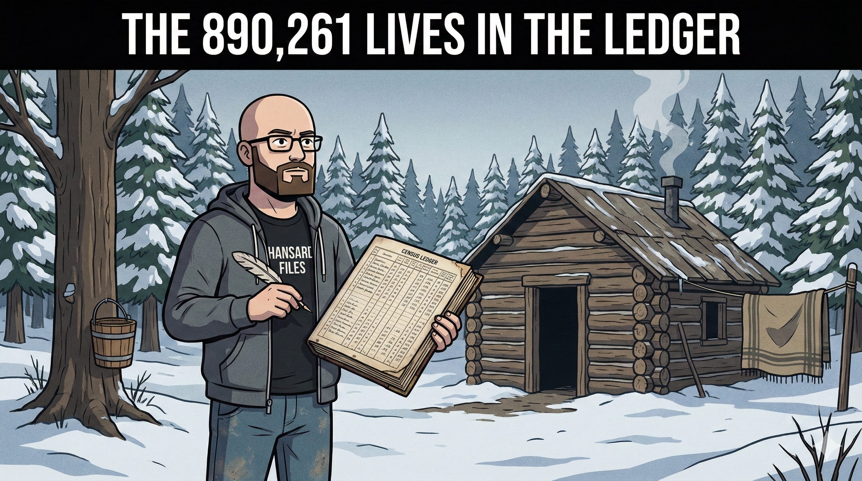
The Hansard Files digs through the forgotten archives of the Commonwealth to find the human stories hidden in the data. Subscribe today to support independent historical investigation.
Source Documents
Board of Registration and Statistics. (1855). Census of the Canadas. 1851-2. Vol. II. Printed by Lovell and Lamoureux.
Wonderful stuff
LOVE THIS!! SO IMPORTANT!! The amount of effort you put in, shows!! WOW